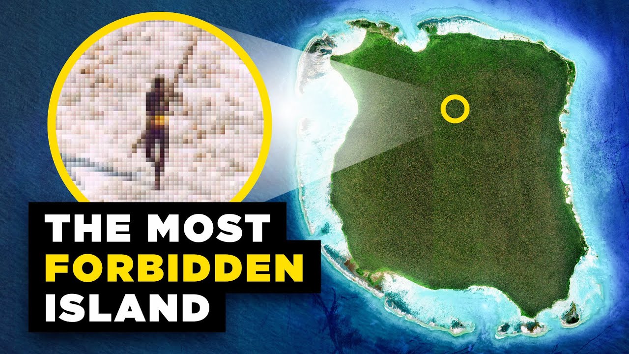
The Forbidden Island, Mapped
A long-form geography explainer uses animated satellite maps, a travel case, and archival images to explain an isolated island's history.
By @RealLifeLore for RealLifeLoreRuns 21:26
This film opens with Library
A free account opens 100 hand-picked films. Library opens all 4,570 of them for $6 a month.
Free takes an email or Google, no card. See the plans
Why it works
A specific journey begins at 0:00, then an unexpected second destination at 0:09 opens a question. The map makes the 50 km contrast legible by 0:53, while a return to the traveler's outcome around 3:09 and an animated historical rewind at 3:25 turn geography into a causal story. The supplied six-minute excerpt has 63 graphic steps inside only 16 detected shots, keeping long map scenes active.
Films like this
Tagged geolayers 3maptileropenstreetmaplive actiongeography explaineranimated mapsdocumentary voiceoversatellite imagery