New Zealand's Empty-Land Map Mystery
A map-led geography explainer that turns a population overlay into a chain of scale comparisons and an isolation reveal.
By @RealLifeLore for RealLifeLoreRuns 23:11
This film opens with Library
A free account opens 100 hand-picked films. Library opens all 4,570 of them for $6 a month.
Free takes an email or Google, no card. See the plans
Why it works
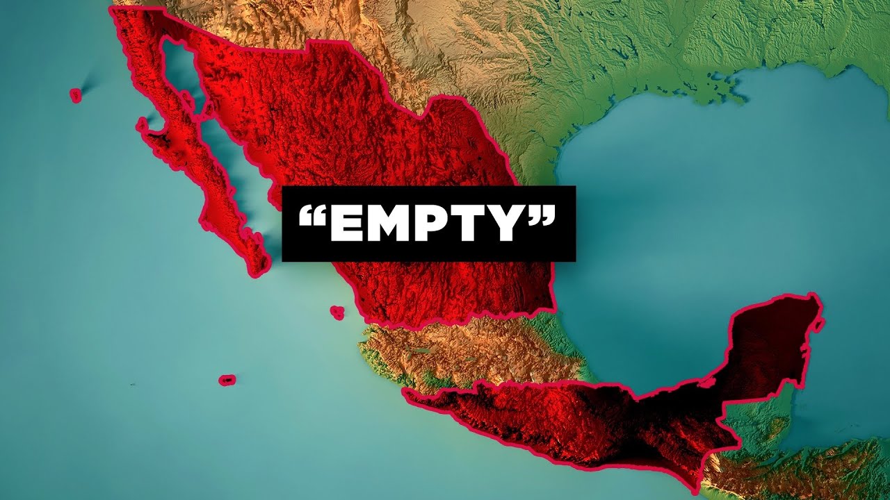
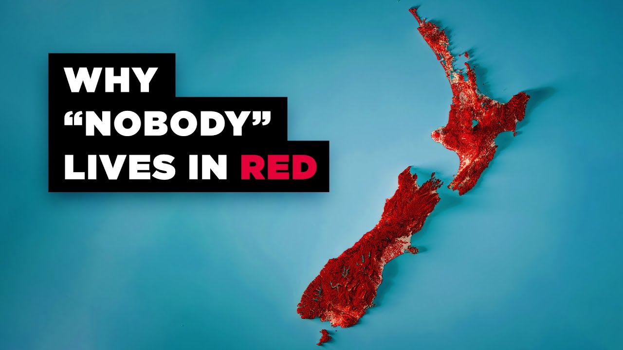
The red settlement overlay appears by 0:02.25 and makes the 80% claim at 0:03.5 immediately legible. Size and density comparisons build the contradiction through 1:55, while the 4:10–4:24 replay peak coincides with a cyan hemisphere graphic and a 2,000 km distance bar. The detector's four shots undercount the many visible map and footage changes.
Films like this
Tagged geolayers 3maptileropenstreetmaplive actionmap explainergeographydata visualizationvoiceover