Canada’s surprising southern reach
A one-map vertical explainer uses animated borders, shrinking highlighted regions, and a local directional payoff to overturn a geographic assumption.
By @RealLifeLore for RealLifeLoreRuns 00:59

This film opens with Library
A free account opens 100 hand-picked films. Library opens all 4,570 of them for $6 a month.
Free takes an email or Google, no card. See the plans
Why it works
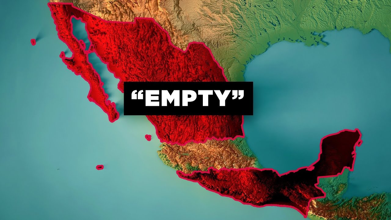
The narrator challenges the default map assumption by 0:05.6, then the 49th-parallel line and red population area make the claim visible by 0:15. A single map shot still supplies 16 measured graphic changes in 58.5 seconds, while the final Detroit close-up turns broad statistics into an easy-to-grasp southbound arrow; the first area reveal aligns with the 0:13 most-replayed peak.
Films like this
Tagged verticalanimated mapgeography explainersatellite imageryvoiceoverword chunk captionsdata visualizationzoom animation