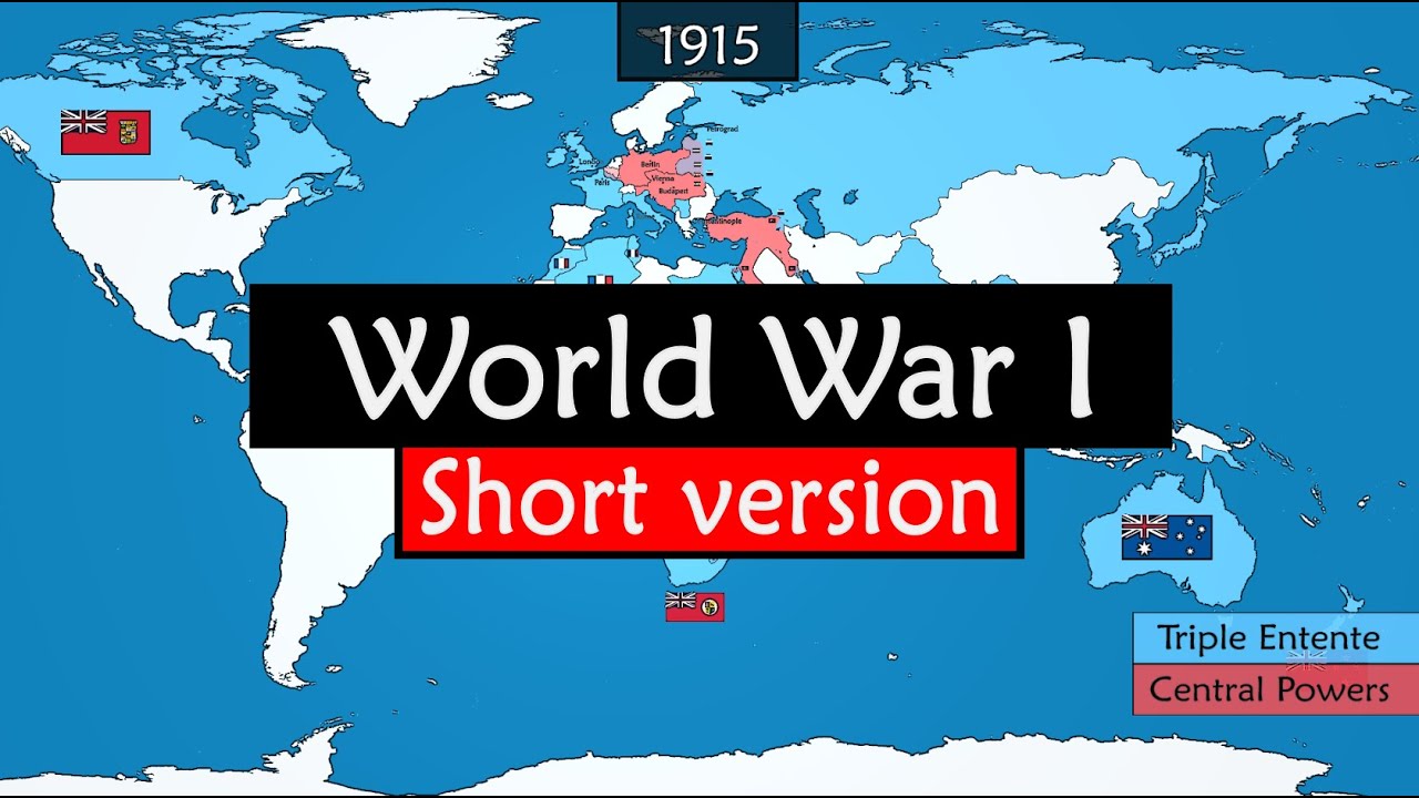
World War I in Animated Maps
A measured six-minute excerpt makes a global conflict legible through one evolving, colour-coded political map.
By @GeoHistory for GeoHistoryRuns 08:49
This film opens with Library
A free account opens 100 hand-picked films. Library opens all 4,570 of them for $6 a month.
Free takes an email or Google, no card. See the plans
Why it works
The small rotating globe at 0:00 establishes global scale before the map narrows to Europe around 0:21. A dated 1871 territory reveal around 0:32 falls inside the strongest replay peak (0:31.7–0:37.0), while 128 measured on-screen changes keep one persistent map informative. Zooms to the Western front, Ottoman regions, Asia and Africa renew attention without changing the underlying colour key.
Films like this
Tagged after effectsanimated maphistory explainertimelinevoiceoverinfographicflat design16:9