World War I as a Living Map
A narrated historical explainer that turns alliances, border changes and troop movements into one continuously evolving color-coded map.
By @GeoHistory for GeoHistoryRuns 18:12

This film opens with Library
A free account opens 100 hand-picked films. Library opens all 4,570 of them for $6 a month.
Free takes an email or Google, no card. See the plans
Why it works
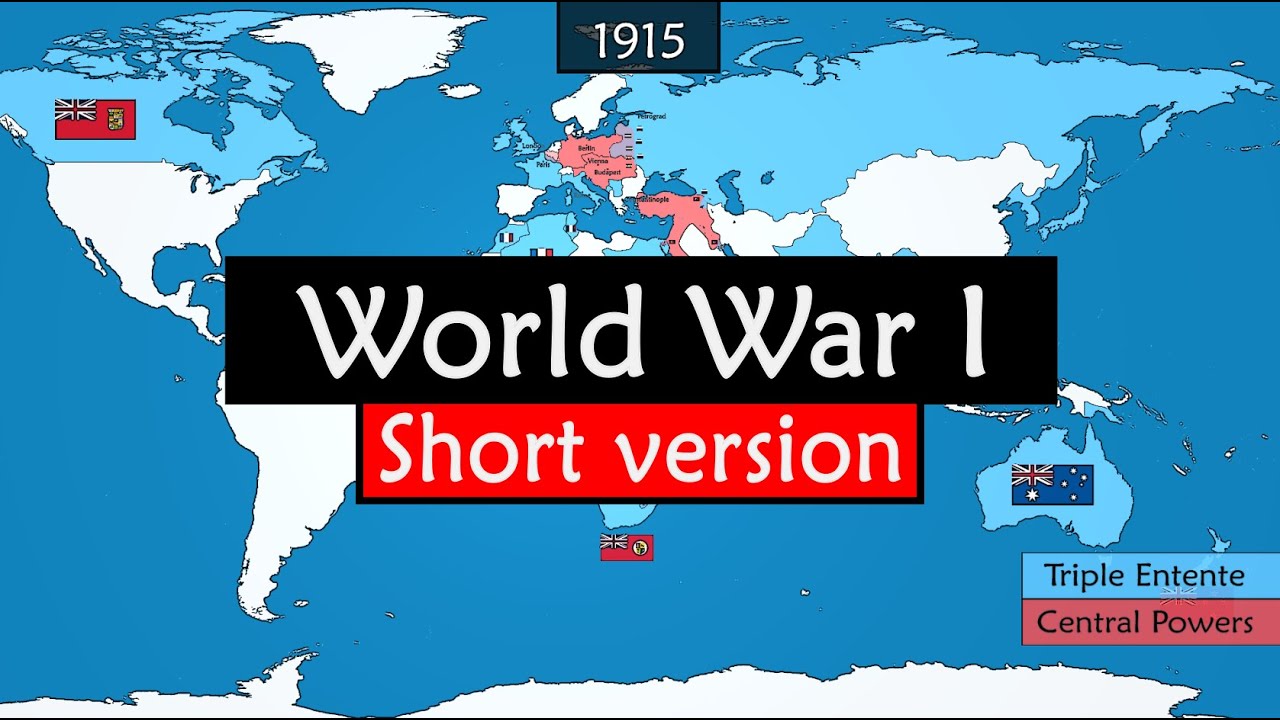
The 0:00–0:03 world-to-Europe zoom supplies orientation before the first dated map state, and 117 internal picture changes keep a six-minute geographic explanation moving without changing the underlying canvas. The most-replayed section within the measured excerpt, 3:05.8–3:16.7, coincides with rapid Balkan border redraws; later, the arrows and moving front at 5:23–5:41 make a tactical reversal visible.
Films like this
Tagged after effectsanimated maphistorical explainervoiceovervector cartographytimelinecolor codinggeographic zoom