A 56-Second War Timeline on One Map
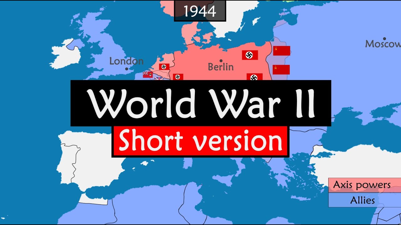
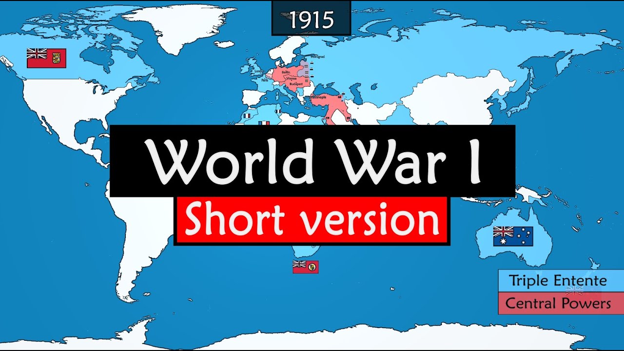
A narrated historical explainer uses one persistent, colour-coded map and timed year and event markers to compress a decade of events into 56 seconds.
By @GeoHistory for GeoHistoryRuns 00:56

This film opens with Library
A free account opens 100 hand-picked films. Library opens all 4,520 of them for $6 a month.
Free takes an email or Google, no card. See the plans
Why it works
The fixed title, map band and colour key let the viewer track a changing geography without resetting after a cut; the opening moves from a broad region to the focal country within about 3 seconds. A territorial turn around 0:14–0:15 aligns with the strongest replay point, while later event markers support a closing reversal around 0:51–0:56. The measured 0 cuts understate the visual activity because the map pans, recolours and gains markers inside one continuous composition.
Films like this
Tagged verticalanimated maptimelinehistorical explainervoiceoverinfographiccolor codingone take