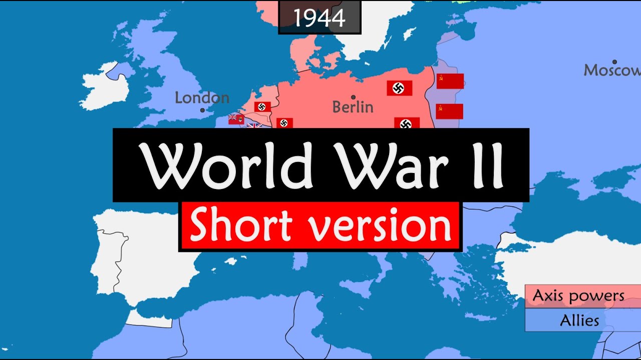
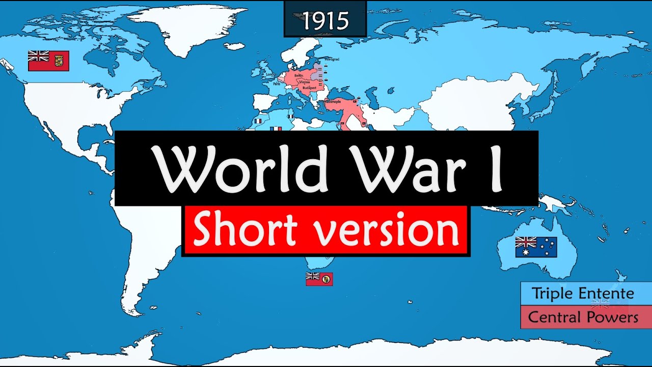
World War II Told Through an Animated Map
A narrated historical atlas uses continuous map animation, dated chapters, and colour-coded territory changes to explain a global conflict.
By @GeoHistory for Geo HistoryRuns 23:54

This film opens with Library
A free account opens 100 hand-picked films. Library opens all 4,570 of them for $6 a month.
Free takes an email or Google, no card. See the plans
Why it works
The first three seconds zoom from the world toward Europe as narration starts at the event preceding the main conflict, giving the viewer a place and causal starting point. In the measured first six minutes, 86 internal map changes and chapter resets at 2:04, 3:27, and 4:50 keep a continuous canvas informative; the 4:18–4:32 replay peak coincides with new 1933 Germany symbols and shading. The source runs 23:54, while these measurements cover only its opening 6:00.
Films like this
Tagged after effectsanimated maphistory explainerdocumentary voiceovertimelinepolitical geographyflat illustrationlong form