The Bridge That Reconnected a Region
A long-form engineering documentary that moves from an impossible-looking bridge to maps, expert testimony, and a clear structural comparison.
By @TheB1M for The B1MRuns 16:57

This film opens with Library
A free account opens 100 hand-picked films. Library opens all 4,570 of them for $6 a month.
Free takes an email or Google, no card. See the plans
Why it works
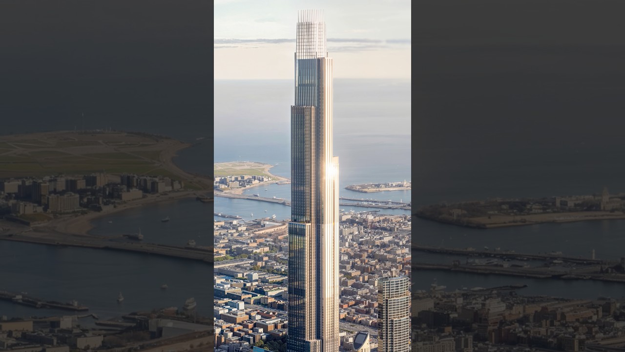
The first 3.95 seconds hold a wide aerial while the narrator claims the bridge seemed impossible, creating a clear question before the first cut. Maps from about 2:08 turn a regional travel problem into a visible route, and the matched cable-stayed versus suspension diagrams at 5:25–5:35 coincide with a measured replay peak. The faster opening montage slows into maps and interview, giving scale, context, and expert judgment room to land.
Films like this
Tagged live actionengineering documentaryinfrastructure explaineraerial footagemap animationexpert interviewtechnical diagramsnarrated film