Thermopylae Explained Through Animated Maps
A long-form history documentary opens at a narrow battlefield, then rewinds through animated maps and ruler diagrams.
By @HistoryMarche for HistoryMarcheRuns 28:46

This film opens with Library
A free account opens 100 hand-picked films. Library opens all 4,570 of them for $6 a month.
Free takes an email or Google, no card. See the plans
Why it works
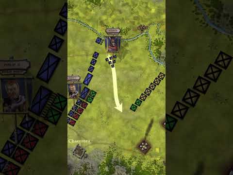
The opening makes the terrain and opposing forces legible on one tactical map by 0:18. A logo reset at 1:12 leads into a geographic rewind, and the maps shift from regional context to imperial scale before ruler diagrams appear around 3:52 and 5:40. The source is a 28:46 episode; only the first six minutes were measured, and its reported one-shot cut count conflicts with visible scene changes.
Films like this
Tagged animated mapshistory explainerdocumentary narrationbattle mapinfographicsparchment graphicslandscapelong form