Missile Threat Explained Through Animated Maps
A six-minute naval-history explainer that moves from a game-footage sponsor montage into a calm, top-down map account and firsthand stakes.
By @TheOperationsRoom for The Operations RoomRuns 12:07

This film opens with Library
A free account opens 100 hand-picked films. Library opens all 4,570 of them for $6 a month.
Free takes an email or Google, no card. See the plans
Why it works
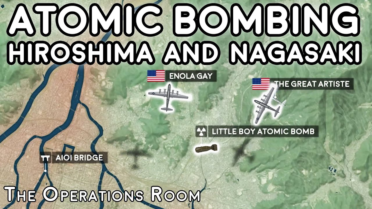
The map introduces aircraft and route at 1:20–1:27, then adds coast, fleet and city context as the narration explains why positions matter. A tactical complication at 3:06–3:38 and a shift to one crew member at 4:09–4:41 turn geography into human stakes; replay peaks at 1:20–1:27 and 4:36–4:43 support those moments. The 0:30–0:56 fast-cut sponsor montage contrasts with the measured map sequence, though the supplied six-minute excerpt ends before the event resolves.
Films like this
Tagged screen recordinghistorical explaineranimated mapsmilitary historydocumentary voiceovertop-down graphicssponsor montagegeographic storytelling