How a local war could spread across a region
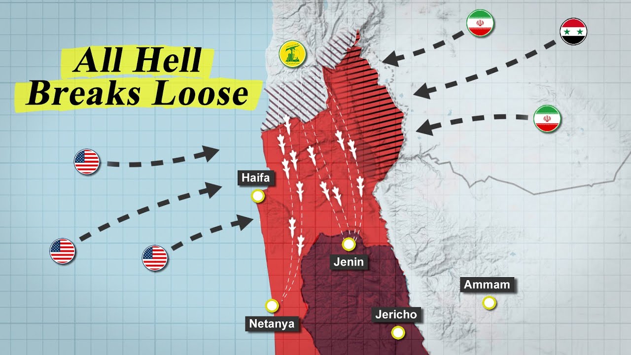
A six-minute geopolitical explainer that scales animated maps from one front to several, then pairs source screens with technical diagrams.
By @CaspianReport for CaspianReportRuns 17:34
This film opens with Library
A free account opens 100 hand-picked films. Library opens all 4,570 of them for $6 a month.
Free takes an email or Google, no card. See the plans
Why it works
The maps widen from the Gaza coast to a northern front by 0:34 and a regional view by 0:52, so the escalation is visible before the analysis gets dense. Its 43 shots contain 66 additional graphic steps, keeping long explanations active; the strongest replay peak at 3:31–3:41 coincides with a sharp return from sponsor UI to a dark technical diagram and source clip. Audience comments repeatedly praise clarity and measured presentation.
Films like this
Tagged live actionscreen recordinggeopolitical explaineranimated mapsdocumentary voiceoversource screenshotstechnical diagramstopographic maps


