One Continuous Flight to the Summit
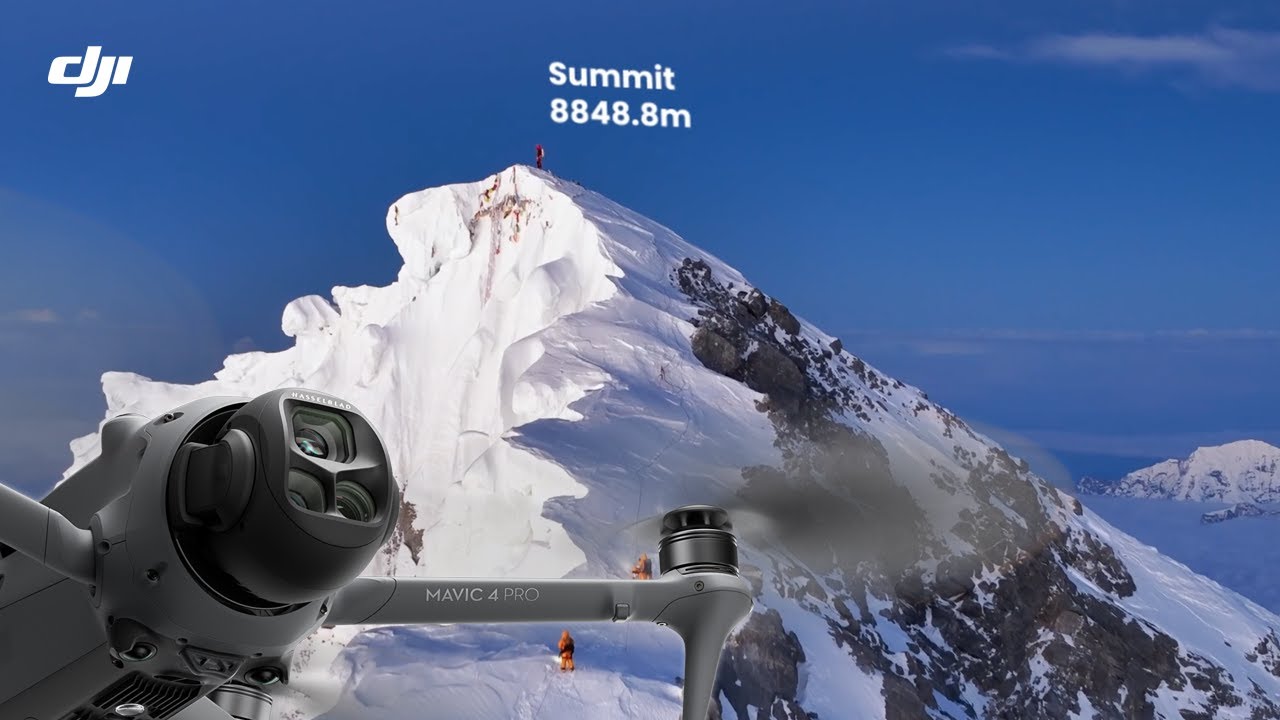
A two-and-a-half-minute aerial ascent uses one apparent continuous shot and altitude labels to build toward a human-scale summit reveal.
By @DJI for DJIRuns 02:26
This film opens with Library
A free account opens 100 hand-picked films. Library opens all 4,570 of them for $6 a month.
Free takes an email or Google, no card. See the plans
Why it works
The visible saddle in the first 3 seconds makes the destination a spatial question. One continuous 4380-frame journey lets waypoint labels explain progress without a cut, and the 82 px summit label plus tiny person make the arrival readable at human scale. The measured picture ends on its brightest view, at 145.8 s.
Films like this
Tagged live actionaerial filmone shotdrone footagecinematic landscapewaypoint labelsaltitude dataproduct proof